
The End of the Spreadsheet Era
For decades, our relationship with information has been defined by the grid. We have lived within the rigid confines of the spreadsheet, the database table, and the two-dimensional list. It was a necessary stage of our evolution—a way to impose order on the chaos of the digital dawn—but it was always a claustrophobic one. Rows and columns are efficient for machines, but they are foreign to the human soul. We did not evolve to navigate cells; we evolved to navigate terrain.
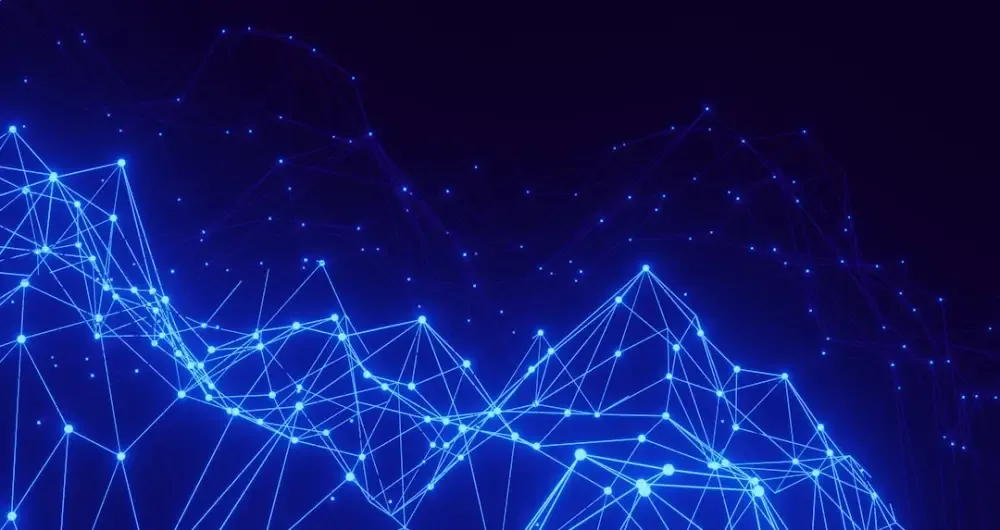
Today, a profound shift is occurring. We are finally learning to see data not as a series of flat entries, but as a landscape. Driven by the convergence of AI, 3D engines, and spatial computing, we are stepping out of the grid and into the topography of information. This is more than just a change in visualization; it is a fundamental shift in how we perceive the digital world and our place within it.
The Latent Space as a Physical Territory
When we talk about AI models today, we often speak of 'latent space.' To a mathematician, this is a high-dimensional vector space where every point represents a piece of information. But to a creator, latent space is becoming a literal territory. When we use AI to generate images, text, or 3D objects, we are essentially trekking through a vast, invisible mountain range of human knowledge and creativity.
As we develop better tools to visualize these spaces, we begin to see clusters of ideas forming valleys and peaks of innovation rising from the plains. We are no longer just 'querying' a database; we are exploring a vista. This shift allows us to see relationships that were previously hidden in the noise. In a landscape, distance has meaning. Similar concepts sit side-by-side like neighboring villages, while outliers exist as distant islands. By treating data as a physical environment, we engage our innate spatial intelligence, allowing us to find patterns through intuition rather than just logic.
Why the Human Brain Craves Topography
There is a reason why we find a well-designed 3D data environment more 'readable' than a 5,000-row CSV file. Our brains are hardwired for spatial memory. The ancient 'method of loci'—a mnemonic device that involves placing information along a physical path—works because our minds are optimized to remember where things are, not just what they are. By turning data into a landscape, we are finally building digital tools that work with our biology rather than against it.
The Benefits of Spatial Data Perception
- Contextual Awareness: In a 3D landscape, you can see what surrounds a data point, providing immediate context that a flat list lacks.
- Serendipitous Discovery: Much like walking through a forest, wandering through a data landscape allows for 'accidental' findings that a targeted search might miss.
- Reduced Cognitive Load: Spatializing information allows us to use our peripheral vision and depth perception to process complexity, freeing up mental energy for high-level analysis.
- Enhanced Memory Retention: We remember the 'place' where an idea lives, making it easier to revisit and build upon over time.
The Rise of the Spatial Generalist
This evolution toward data-as-landscape is giving birth to a new kind of professional: the Spatial Generalist. As I have explored in previous discussions, the ability to navigate between different digital dimensions is becoming the most underrated skill of the decade. These are the designers and developers who don't just build tools; they build worlds. They understand that a 3D model isn't just an asset, and an AI model isn't just a function—they are both parts of a larger, navigable ecosystem.
In this new era, building a digital human or an AI NPC isn't just about code and textures; it’s about placing them within a coherent informational environment. When we see data as a landscape, we realize that everything is connected. The way a digital character moves is influenced by the data terrain they inhabit. The way a world feels is a direct reflection of the underlying information architecture.
A Reflective Horizon: The Future of Digital Design
As we look forward, the distinction between 'data' and 'environment' will continue to blur. We are moving toward a future where we don't just 'look' at our screens; we inhabit our information. This transition requires a certain level of digital curiosity—a willingness to wander into the unknown parts of the map and see what lies beyond the next ridge.
It is a humbling realization. For years, we thought we were the masters of the data we collected, neatly filing it away in our digital cabinets. But as the landscape reveals itself, we see that the data is much larger than we imagined. It is a vast, beautiful, and sometimes intimidating wilderness. Our job now is to learn how to be better explorers, to build better compasses, and to finally appreciate the view from the summit of the information we have spent a lifetime gathering.
The grid is falling away. The horizon is opening up. It is time to start walking.